In this operator spotlight profile, Daniel Manchester from Proform Group answers some of our questions about the great work they are doing and how AirShare supports their operations.
Tell us a bit about your business and your use of drones?
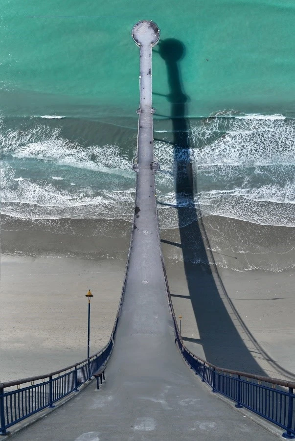
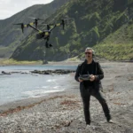
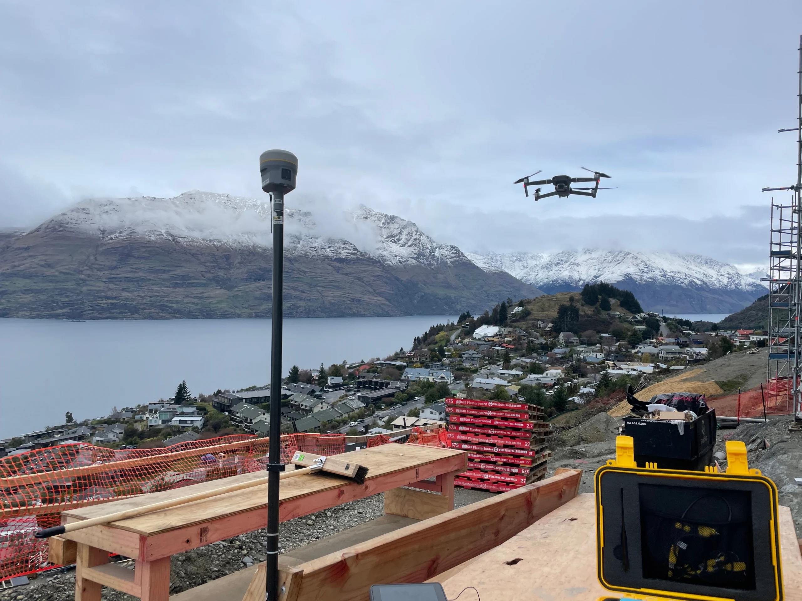
We’re Proform Group, a project and construction management consultancy company. Initially, we purchased a drone to assist with our building inspections to allow us to view the parts of the building that usually required ladders, elevated working platforms or being secured with a safety harness system. When we discovered 3D modelling from drone photogrammetry, we started capturing our project sites and creating digital twins to aid our project planning, as it allowed us to take length/area/volume measurements, check slopes and more.
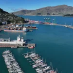
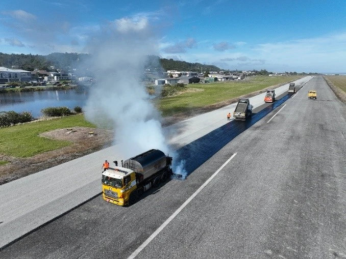
We also work for other companies and organisations – so once people started seeing how we were using drones on our projects we started getting requests for help on theirs, with some from outside the construction industry. This created a greater scope, expanding how we used drones even further. For example, road dilapidation reports, where we would capture the imagery for the engineer, or work with cadastral land surveyors to map a site and capture the data required for their survey work. We have also been approached by organisations requesting drone assistance – such as project managing the Sumner Coastguard’s trial of drones for Search and Rescue operations. We saw this as an opportunity to foster and expand our portfolio.
Drones can be used for so many purposes – we found this through the Greymouth Street Sprints event, where we were initially engaged to capture the roads for the dilapidation report. However, we ended up filming the event and turned the data into a racing track asset, allowing people to race around the track virtually.
How do you ensure safety during your drone operations, and what are some of the biggest safety challenges you face?
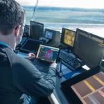
We’re a 102 certified drone operator. This certification is a minimum requirement for some of our clients and it also ensures that we’re trained in the highest standard for safety, which we did with Fenix UAS. Through Fenix UAS, we learned from experienced people who helped us create our exposition, which included walking us through the various flight scenarios we were planning to undertake so when it came time to flying, we had a thorough flight planning process.
Some of the biggest safety challenges we face are around public safety and ensuring that our drone operations won’t affect people in the area we are flying – flight planning and creating detailed flight paths allow us to manage the drone, but drones always draw attention. Having signage, hi-vis and doing letterbox drops helps, as we find people are comfortable when they know what we are doing, however they can be confrontational if they see a drone flying near them without knowing its purpose. We fly over construction sites a lot and have an authorised exemption from the Civil Aviation rules allowing us to fly over people on a construction site without prior consent, however we still notify them.
How do you see the role of drones evolving over the next five years, especially in your area of expertise?
We see automation of flights on construction sites evolving in the future to allow more regular and detailed captures of the work in progress.
We also see the data captured on construction sites being evaluated with the assistance of AI more and more to help with the planning and management of projects. For example, the technology is already there to fly over an existing building complex and have a schedule of quantities created for the roofs, however people are currently hesitant to use it due to (in my opinion) a lack of understanding and fear of new technology.
For the conservation work we help with, I see drones (when flown safely) increasing the ability to monitor wildlife and their environments to provide more data that will allow for better-informed decisions.

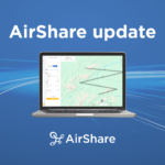
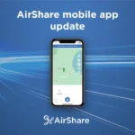
Prior to working under our 102 exposition, the AirShare app and website were our main resources for planning our flights, understanding the airspace and for ATC contacts.
How long have you been using AirShare to log your flights, and how many flights have you logged?
I’m not sure of the exact date, however we must have been using AirShare for close to 4 years now. We used AirShare as soon as we started flying.
How has your use of AirShare supported the safety and success of your business?
Prior to working under our 102 exposition, the AirShare app and website were our main resources for planning our flights, understanding the airspace and for ATC contacts. We still use the AirShare app when preparing for a flight that will have a NOTAM issued, as it allows us to see if there are any other drone flights in the area. It’s great how NOTAMs are in the AirShare app now to help inform other drone operators of our actions.
What advice would you give to new drone pilots, around ensuring safe drone operations in New Zealand?
Don’t assume you know everything and use the AirShare app and website to understand your requirements. It’s also important to talk to experienced drone pilots – get their advice in writing, so you can keep it as a reference, as there are people out there who will provide an opinion with the confidence that it’s fact.